domains · earth observation
every band, every revisit, one cube
Satellite archives arrive as millions of individual scenes. Earthmover turns them into analysis-ready data cubes with time as a real dimension, so a decade of revisits reads like a single array.
the data
What we store
Visible and multispectral
Optical imagery across sensors and revisits, harmonized onto a common grid.
Hyperspectral
Hundreds of contiguous bands, chunked so a spectral signature costs one read rather than hundreds.
SAR
Synthetic aperture radar backscatter and interferometric products at full resolution.
Derived EO products
Indices, classifications, and change detection outputs, versioned against the imagery behind them.
on the platform
What Earthmover adds
-
Scenes become cubes — time and band are dimensions you index, not directories you crawl.
-
Zero-copy from GeoTIFF — catalog existing COG and TIFF archives in place, without duplicating a byte.
-
Serve tiles directly — publish a live map or API from the same data your models train on.
case studies
Teams building on Earth observation data
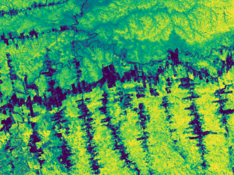
Sylvera
Centralized millions of scattered GeoTIFFs from Copernicus, USGS, and NASA into cloud-optimized arrays, with incremental ingestion and version-tracked auditing.
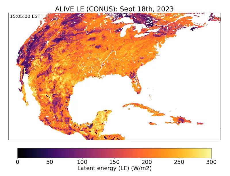
ALIVE, UW–Madison
Manages GOES-R satellite data on Arraylake for near-real-time carbon and water flux estimation.